Geophysical Surveys: What you Should Know
Table of Contents
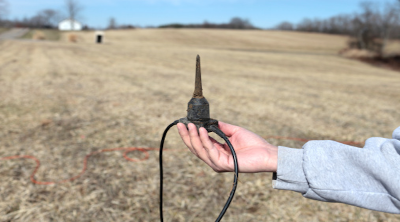
You might be unsure as to the full meaning of the term ‘geophysical survey’; this discipline involves the collection of geophysical data to carry out spatial studies. Another way to describe this field is the detection and analysis of geophysical signals, which is necessary when planning any construction. The Earth has magnetic and gravitational fields and this data is essential when looking at seismic activity; this is a specialist field and you can either hire the equipment or commission a team of geophysical surveyors to carry out the work.
Electrical Resistivity
You can rent or buy an electrical resistivity meter from a leading supplier, which is an essential piece of kit for many geophysical surveys. This equipment can be used to:
- Mining resource exploration
- Investigate underground contamination
- Explore for urban engineering
- Pile foundation – bedrock detection
- Detection of seawater intrusion
- Geological mapping
- Archeological surveys
- Landslide detection and monitoring
- Lake and river – sediment detection
The equipment is user-friendly, should you wish to rent; it is an expensive piece of equipment for only one survey and renting makes perfect sense.
Data Collection
This could be above ground, orbital, marine, underground or on top of the ground, depending on the objectives. Most companies commission experts to carry out geophysical surveying, which is the cost-effective way to obtain the data you need. Start with a Google search for ‘geophysical surveyors near me’ and browse the list of links. This should lead you to a local specialist who can quote for the project and then you can plan accordingly. Click here for information about how to improve your IT infrastructure.
Ground Penetrating Radar
The field of GPR sends an electromagnetic pulse into the ground and underground objects reflect the signal and timing indicates crucial data. Ground without clay is ideal for this type of radar; sandy soil and limestone rock, but very rocky terrain can cause issues.
Minimize Excavation
Ground penetrating radar greatly reduces the need for exploratory excavation, which is one of the main reasons for its popularity. There are contractors that either hire out the equipment or carry out surveys to order and they can easily be found with an online search. Surveying has undergone a transformation with the arrival of ground penetrating radar and electromagnetic surveys and the results are accurate and can be presented quickly.
Seismic Wave Measurement
The gravitational field of the planet affects mass and there are minute changes in seismic movement; atom interferometers use the wave characteristics of atoms, using diffraction. Atom displacement can be measured and this is a very popular type of ground survey that can be conducted with rented equipment, should you require it.
Electromagnetic Surveys
The presence of magnetic minerals can be detected with this type of survey; minor differences in reading can help to identify rock types. This is also used to measure 3D variations in conductivity within surface rock. Magnetometers are used to measure the electromagnetic field and accuracy depends on the requirements of your project, while there is sometimes the need for very specialized equipment; namely a superconducting quantum interference device, known as SQUID.
Archeology
Archeological surveys can be carried out to indicate buried structures and this helps the dig planners decide where to lay their first trenches. Initial surveys might be done from the air and if that shows promise, they might use GPR to get a better idea of what lay below the ground. When the senior archeologists on a big project are looking at a specific area, they will send out a team to run the equipment over grid sections and when the data is processed, they have a clearer image of what lies under the ground. Every major archeological dig would have a team of ground surveyors that can zone off an area and run their equipment over the ground, as this is the best way to discover old structures that are below the ground.
Radiometric Surveys
The Earth is constantly emitting gamma rays due to the natural decomposition of radiogenic material and this type of survey measures these gamma rays. You can get a reading from the top 30cm of ground and this survey can be performed in the air as well as on the ground surface.
Gravity Surveys
A gravimeter is used to measure the field of gravity, which can tell you a lot about variations in rock density. This is the type of survey to detect large quantities of mineral resources and you can rent the equipment from a leading provider of geophysical survey equipment.
3D Sampling
The geophysical data is digitalized for fine processing to provide 3D sampling and you might need analogue-to-digital conversion to obtain accurate readings. 1D sampling is usually carried out first, then this data is processed and digitized to give you a much better idea of what lays below the ground.
Geophysical Consultants
There are specialist companies that offer many services:
- Field crew training for 3D sampling
- Onsite QC
- Onsite data review and assessment
- Compiling data reports
- Training for induced polarization surveying
- Training for electromagnetic surveys
- Training for gravity surveys
This type of company would comprise of a team of geophysicists, with senior and junior surveyors who have a wide range of hands-on experience.
Renting Geophysical Equipment
There are consultancy firms that rent out their top-of-the-range surveying equipment to contractors on a daily basis; this is a better option for some companies who have the manpower but lack equipment.
Visualizing 3D Data
Volume rendering is a set of techniques that are used to display a two-dimensional image of a 3D sampled set. A number of sliced 2D images using MRI or CT scans are put together to create a 3D display and if you need this service, there are consultants who can handle your project.
Groundwater Surveys
Borehole deviation control and analysis of data can help you discover how water drains naturally, which is often necessary when planning a large development. Click here for information about surveying in Thailand, with the Private Surveyor’s Act.
If you are in need of geophysical surveying, there are special contractors who can carry out the work quickly and professionally.